Lake Ray Hubbard

Dr. Doom enjoying a quiet evening on a pier at Lake Ray Hubbard
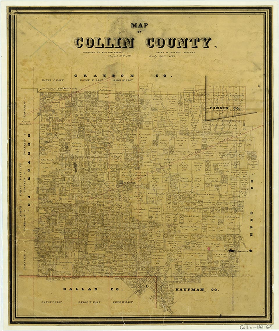
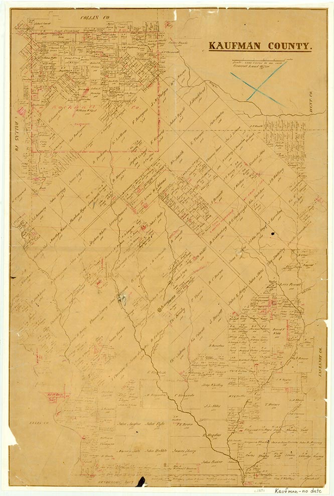
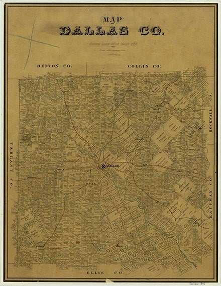
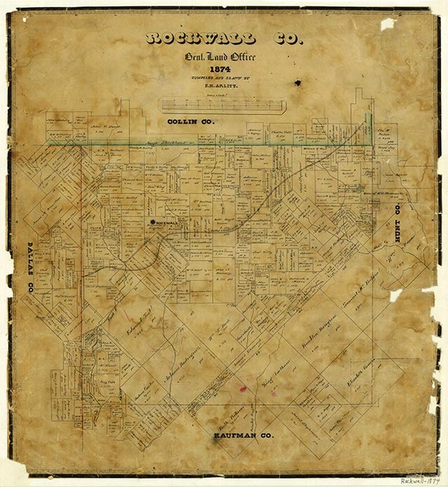
Ray Hubbard Lake and the Rockwall-Forney Dam (at 32°48' N, 96°30' W) are on the East Fork of the Trinity River in the Trinity River basin about fifteen miles east of Dallas on the Dallas-Kaufman county line. The dam is owned by the city of Dallas. The project was constructed by the S. and A. Construction Company and the Markham, Brown and M. C. Winter Construction Company to supply water to Dallas. Construction was started in 1964 and completed in 1969. Ray Hubbard Lake is formed by an earthfill dam some 12,500 feet long. The crest of the spillway is 409.5 feet above mean sea level, and the conservation storage capacity is 490,000 acre-feet with a surface area of 22,745 acres. The drainage area above the dam is about 1,074 square miles.
| © TSHA
Adapted from the official Handbook of Texas, a state encyclopedia developed by Texas State Historical Association (TSHA). It is an authoritative source of trusted historical records.
- ✅ Adoption Status:
Belongs to
Lake Ray Hubbard is part of or belongs to the following places:
Lake Measurements
- Surface Area (in acres): 20,947
- Storage Capacity (in acre-feet): 439,559
Lake Maintained or Owned by
City of Dallas
Date of Origin
1968 (56 years ago)Currently Exists
Yes
Place type
Lake Ray Hubbard is classified as a Lake
Purpose
- Municipal water supply
Associated Names
- (Forney Lake)