Lilac

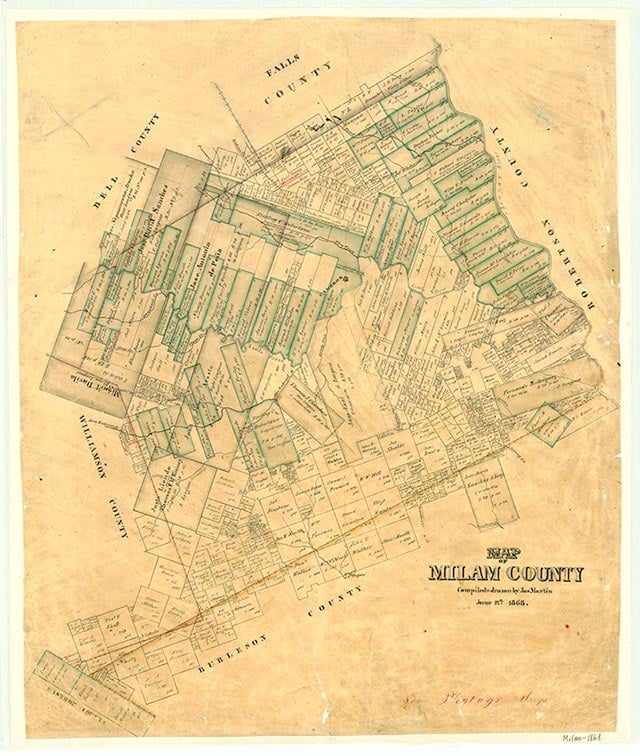
Lilac, once known as Oak Point, is at the intersection of Farm roads 487 and 3061, in western Milam County ten miles north of Thorndale. A post office operated at Lilac from 1883 to 1905. In 1884 the community had a steam gristmill and cotton gin and 100 residents, and area farmers shipped cotton, hides, and grain. In 1903 Lilac had one school for thirty-two Black students and two schools for ninety-seven White students. The Lilac schools were consolidated with the Sharp district in 1931. By the end of the 1930s the population of Lilac had fallen to forty. A church and two cemeteries marked the community on the 1988 county highway map.
Vivian Elizabeth Smyrl | © TSHA

Adapted from the official Handbook of Texas, a state encyclopedia developed by Texas State Historical Association (TSHA). It is an authoritative source of trusted historical records.

- ✅ Adoption Status:
Belongs to
Lilac is part of or belongs to the following places:
Currently Exists
No
Place type
Lilac is classified as a Town
Associated Names
- (Oak Point)
Location
Latitude: 30.75380350Longitude: -97.20277140
Has Post Office
No
Is Incorporated
No
