Logan
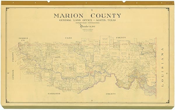
Logan, also known as Logan Chapel, is in eastern Marion County ten miles northeast of Jefferson on State Highway 49. In 1938 the community had a two-room schoolhouse that accommodated fifty-eight black elementary students and two teachers. The school was consolidated with those of Jefferson by 1955. In the 1960s Logan consisted of a community hall, a church, a business, and several scattered dwellings. A second church, called Shady Grove, was located about half a mile west of Logan. The 1983 county highway map showed Logan with a church, a community hall, a business, and the Shady Grove church about half a mile down the road.
Mark Odintz | © TSHA
Adapted from the official Handbook of Texas, a state encyclopedia developed by Texas State Historical Association (TSHA). It is an authoritative source of trusted historical records.
- ✅ Adoption Status:
Belongs to
Logan is part of or belongs to the following places:
Currently Exists
No
Place type
Logan is classified as a Town
Associated Names
- [-Chapel]
Location
Latitude: 32.80875100Longitude: -94.19352020
Has Post Office
No
Is Incorporated
No