Midyett
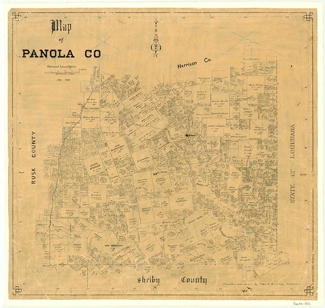
Midyett, at the junction of Farm roads 123 and 31, eleven miles northeast of Carthage in northeastern Panola County, was settled by planters in 1850 as part of the DeBerry settlement. The community was named for Spencer Midyett, who operated a general store and became the postmaster when a post office was established in 1887. The first school opened around the time of the Civil War, and in 1904 the school became part of the county school system. By 1914 Midyett had two general stores, two schools, a sawmill, and an estimated population of 100. The post office closed in 1920, and in the 1940s the school was consolidated with Carthage school. After World War II many of the residents moved away, but in the mid-1960s the settlement still had a church, a cemetery, and several businesses. In the early 1990s Midyett was a dispersed farming community.
Christopher Long | © TSHA
Adapted from the official Handbook of Texas, a state encyclopedia developed by Texas State Historical Association (TSHA). It is an authoritative source of trusted historical records.
- ✅ Adoption Status:
Belongs to
Midyett is part of or belongs to the following places:
Currently Exists
Yes
Place type
Midyett is classified as a Town
Associated Names
- (Breckenridge Springs)
- (Grover)
Location
Latitude: 32.23516020Longitude: -94.16769140
Has Post Office
No
Is Incorporated
No
Population Count, 2009
150