Moore Grove
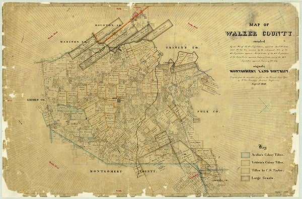
East Sandy Creek, a perennial stream, rises two miles north of New Waverly in southern Walker County (at 30°35' N, 95°29' W) and flows west for eleven miles to its mouth on Lake Conroe, near the Montgomery county line (at 30°33' N, 95°37' W). The stream lies within the boundary of the Sam Houston National Forest. It traverses gently rolling to sloping terrain surfaced by sandy and loamy soils that support woods of loblolly pine, shortleaf pine, sweetgum, water oak, elm, pecan, post oak, black hickory, willow oak, and blackgum along its banks. Settlement in the vicinity began in the early 1830s. The Moore's Grove and East Sandy communities were both established on the south bank of the middle creek during the 1850s.
| © TSHA
Adapted from the official Handbook of Texas, a state encyclopedia developed by Texas State Historical Association (TSHA). It is an authoritative source of trusted historical records.
- ✅ Adoption Status:
Belongs to
Moore Grove is part of or belongs to the following places:
Currently Exists
No
Place type
Moore Grove is classified as a Town
Location
Latitude: 30.57408800Longitude: -95.54161030
Has Post Office
No
Is Incorporated
No