Payne
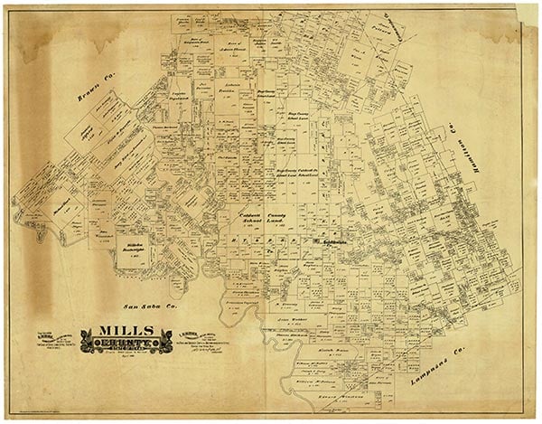
Payne Gap (Paynes Gap, Payne) was just off Farm Road 592 fifteen miles southeast of Goldthwaite in southeastern Mills County. It was named for Barzilla Payne, who established the first permanent settlement in the area in 1861. The community had a post office from 1888 to 1916 and, for a time, a general store and cotton gin. Payne Gap declined after the organization of Mills County in 1887. The 1936 county highway map showed a school, a church, a cemetery, and scattered dwellings at the townsite. In 1983 the church, the cemetery, a community hall, and several dwellings remained, but no population estimates were available.
Diana J. Kleiner | © TSHA
Adapted from the official Handbook of Texas, a state encyclopedia developed by Texas State Historical Association (TSHA). It is an authoritative source of trusted historical records.
- ✅ Adoption Status:
Belongs to
Payne is part of or belongs to the following places:
Currently Exists
No
Place type
Payne is classified as a Town
Associated Names
- [-s]
- [-Gap]
- (Hero)
Location
Latitude: 31.38710770Longitude: -98.34642580
Has Post Office
No
Is Incorporated
No