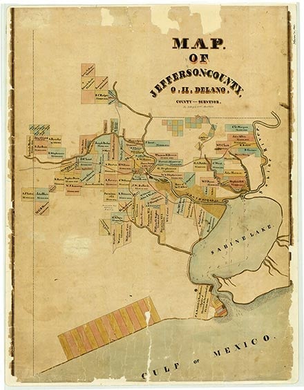
Pear Ridge
Pear Ridge is on State Highway 73, between the Kansas City Southern Railway and U.S. Highway 69/96/287, north of Port Arthur in eastern Jefferson County. The locale was the site of Arthur Stilwell's Port Arthur Experimental Farm. In 1913 the Griffing Brothers Company laid out the Pear Ridge subdivision on the Beaumont-Port Arthur interurban line as a residential community. Pear Ridge voters decided by a 68–4 margin to incorporate their city in 1935. The population grew steadily from 1,198 in 1940 to 3,470 in 1960. By 1980 it was 3,790. By 1986 Pear Ridge had been consolidated with Port Arthur.
Robert Wooster | © TSHA
Adapted from the official Handbook of Texas, a state encyclopedia developed by Texas State Historical Association (TSHA). It is an authoritative source of trusted historical records.
- ✅ Adoption Status:
Belongs to
Pear Ridge is part of or belongs to the following places:
Currently Exists
No
Place type
Pear Ridge is classified as a Town
Location
Latitude: 29.92021440Longitude: -93.93794900
Has Post Office
No
Is Incorporated
No