Pearson
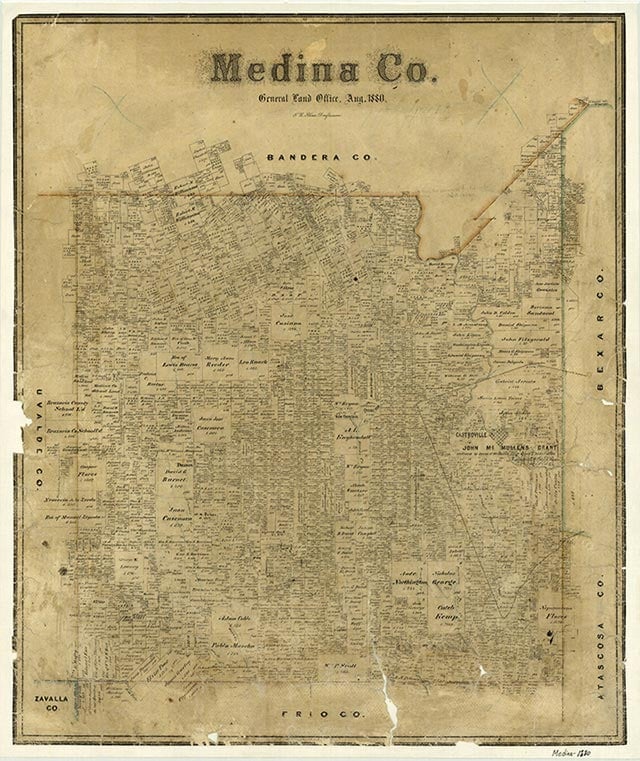
Pearson is on Farm Road 471 and the Southern Pacific line, midway between Castroville and Natalia in east central Medina County. It was named for Frederick Stark Pearson, chief engineer of the Medina irrigation project. The town was laid out in 1912 on the Southern Pacific line between LaCoste and Noonan's Switch and was developed by the San Antonio Suburban Irrigated Farms Company under the direction of agent Charles F. C. Ladd. Pearson was near a Medina irrigation canal. No lots in the projected townsite were sold, and the area reverted to irrigated farm acreage. The Pearson School was established in 1925 and was classified as an intermediate school of seven grades. Equipment available at the school included "Texas history charts, physiology charts, Striker's reading charts, a planetarium, Compton's Encyclopedia, a printing set, flash cards, a hectograph, one Webster's Dictionary, a flag and pole, and a good water system." One business operated in the community in 1931. In 1989 Pearson had a catfish farm, the Chacon Lake Baptist Church, and several residences.
Ruben E. Ochoa | © TSHA

Adapted from the official Handbook of Texas, a state encyclopedia developed by Texas State Historical Association (TSHA). It is an authoritative source of trusted historical records.

- ✅ Adoption Status:
Belongs to
Pearson is part of or belongs to the following places:
Currently Exists
Yes
Place type
Pearson is classified as a Town
Location
Latitude: 29.27134800Longitude: -98.86947170
Has Post Office
No
Is Incorporated
No
Population Count, 2009
24

