Robberson

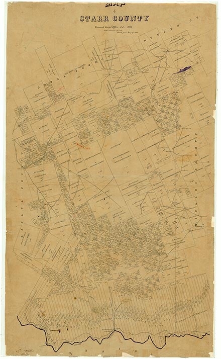
Robberson was located on an unmarked private road just west of Farm Road 755 twenty miles northeast of Rio Grande City in northeastern Starr County. It was a dry-land farm community, and the post office was named for the local landowner-promoter. The settlement served as a post office for Santa Catarina, a mile east, from 1909 to 1918. In 1914 the town received its mail weekly. The 1948 highway maps located several scattered dwellings and one business in Robberson. The site was still identified on 1991 highway maps.
Dick D. Heller, Jr. | © TSHA

Adapted from the official Handbook of Texas, a state encyclopedia developed by Texas State Historical Association (TSHA). It is an authoritative source of trusted historical records.

- ✅ Adoption Status:
Belongs to
Robberson is part of or belongs to the following places:
Currently Exists
No
Place type
Robberson is classified as a Town
Associated Names
- (La Copita)
- (Santa Catarina)
Location
Latitude: 26.65144660Longitude: -98.58807650
Has Post Office
No
Is Incorporated
No
