Salem
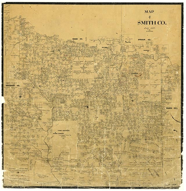
Salem is on Farm Road 15, two light-duty roads, and two dirt roads four miles east of Troup in southeastern Smith County. Denton Creek runs through the area, which was originally part of the Juan Vargas Survey. It had been settled by 1903, when county records showed a one-teacher school there, with fifty-three White students. In 1936 Salem comprised one business, two schools, and some forty farms. The 604 White students had twenty-three teachers, while the 101 Black children of school age were not enrolled. By 1952 Salem had been consolidated into the Troup Independent School District, and in 1965 the community had about ten dwellings and the Salem Cemetery. A 1973 map showed a church and a small cluster of dwellings on Farm Road 15; Salem was still shown on the 1981 county highway map.
Vista K. McCroskey | © TSHA
Adapted from the official Handbook of Texas, a state encyclopedia developed by Texas State Historical Association (TSHA). It is an authoritative source of trusted historical records.
- ✅ Adoption Status:
Belongs to
Salem is part of or belongs to the following places:
Currently Exists
No
Place type
Salem is classified as a Town
Location
Latitude: 32.17460250Longitude: -95.02244160
Has Post Office
No
Is Incorporated
No