San Antonio Prairie
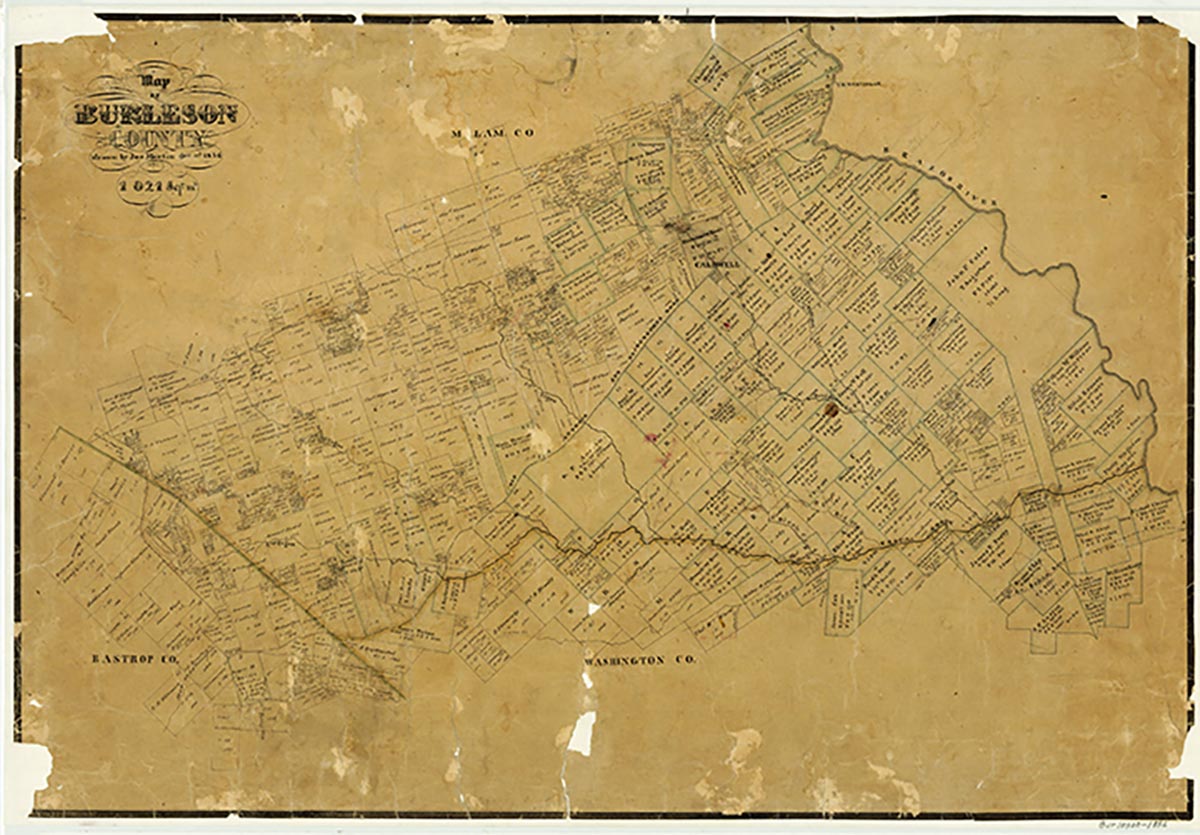
San Antonio Prairie is a small agricultural community on State Highway 21 at Farm Road 60, six miles southwest of Caldwell in southwestern Burleson County. Its name was originally applied to a belt of blackland prairie extending through the center of Burleson County from southwest to northeast along either side of the Old San Antonio Road. During the mid-1830s this prairie became an axis of settlement in the region north of Yegua Creek and west of the Brazos River. Settlement in the western portion of this belt, near what is now the San Antonio Prairie community, was diffuse. The tiny rural settlement has clustered along the highway since the mid-1900s, with the completion of State Highway 21 (which follows the route of the Old San Antonio Road). In the mid-1960s the community reported fifteen residents. Further population estimates were unavailable. By the early 1990s the Texas Historical Commission had designated the cemetery at San Antonio Prairie as a Texas Historic Cemetery. Both the cemetery and rural community were shown on county highway maps in 2000.
Charles Christopher Jackson | © TSHA
Adapted from the official Handbook of Texas, a state encyclopedia developed by Texas State Historical Association (TSHA). It is an authoritative source of trusted historical records.
- ✅ Adoption Status:
Belongs to
San Antonio Prairie is part of or belongs to the following places:
Currently Exists
Yes
Place type
San Antonio Prairie is classified as a Town
Location
Latitude: 30.45798510Longitude: -96.78331160
Has Post Office
No
Is Incorporated
No
Population Count, 2009
20