Sand Springs
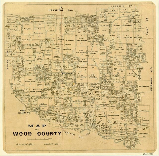
Sand Springs (Sand Spring) was a widely dispersed rural community near what is now Hawkins in the southeastern corner of Wood County. (This Sand Springs should not be confused with the Sand Springs church and cemetery in southwestern Wood County, near the Sand Springs lake three miles northwest of Mineola.) The Sand Springs area was settled as early as 1848, when Theophilus West, a farmer, brought his family to the area from Tennessee. Two years later North Carolina native William Welborne (sometimes spelled Welbourne or Welborn) arrived and eventually built a cotton gin and gristmill on nearby Mill Creek. By 1852 the Sand Springs community, which was near the Belzora road, an important shipping route at that time, had received a post office called Sand Spring. Theophilus West was among the charter members when the Liberty Baptist Church was organized at the community in 1855. (Liberty was a popular name in Wood County, shared by a second Liberty church, located east of Quitman, as well as a Liberty school and a Liberty school district.) Sometime before 1860 a privately run school called Oakdale was established on the Belzora road nearby; later, area residents were served by a school called Sandale located about five miles from the church. By 1866 the Sand Spring post office had closed. For a time after the Sandale school burned down around 1929, local children attended classes at the Liberty church. In 1932, about four years before it consolidated with Hawkins, the Sandale school district reported sixty-eight White and thirty-nine Black students in ten and seven grades, respectively. The 1940 discovery of the Hawkins oilfield led to the construction of the densely populated Humble (later Hawkins) Camp just to the south of the Liberty Baptist Church. The Liberty Baptist Church celebrated its 100th anniversary in 1955 and was still active in 1989, when it served almost 350 members living in a ten-mile radius.
Rachel Jenkins | © TSHA
Adapted from the official Handbook of Texas, a state encyclopedia developed by Texas State Historical Association (TSHA). It is an authoritative source of trusted historical records.
- ✅ Adoption Status:
Belongs to
Sand Springs is part of or belongs to the following places:
Currently Exists
No
Place type
Sand Springs is classified as a Town
Associated Names
- [-Spring]
Location
Latitude: 32.61375020Longitude: -95.19050160
Has Post Office
No
Is Incorporated
No