Sandusky
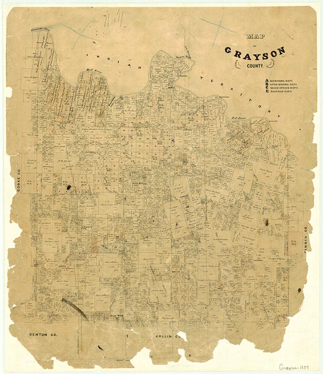
Sandusky is on U.S. Highway 377 seventeen miles northwest of Sherman in northwestern Grayson County. The area was settled about 1873, when John R. Davis established a general merchandise store and George McCain began operation of a gristmill and sawmill. The settlement had a post office by 1875. The community may have been named for Sandusky, Ohio (reportedly the source of local cotton-ginning equipment), or for nearby Sandusky Creek. By 1885 Sandusky had a population of 100, three churches, several steam-powered mills, and a school. The population had declined to sixty-two by 1900, and in 1902 the community post office closed. The population was fifty in the mid-1940s, after which no further population estimates were available. In 1989 the community consisted of some widely scattered houses, but no rated businesses or other institutions were reported there. In 2000 the population was fifteen.
Brian Hart | © TSHA
Adapted from the official Handbook of Texas, a state encyclopedia developed by Texas State Historical Association (TSHA). It is an authoritative source of trusted historical records.
- ✅ Adoption Status:
Belongs to
Sandusky is part of or belongs to the following places:
Currently Exists
Yes
Place type
Sandusky is classified as a Town
Location
Latitude: 33.76621580Longitude: -96.89222620
Has Post Office
No
Is Incorporated
No
Population Count, 2014
15