Sandy Hill
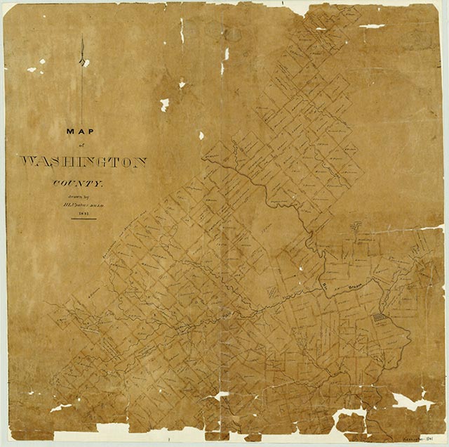
Sandy Hill is on Sandy Hill Road and Farm Road 2621 near its junction with Farm Road 50, nine miles west of the Brazos River and eight miles northeast of Brenham in northeastern Washington County. A hill, with an elevation of 343 feet, lies on Hardeman Branch near Little Rocky Creek. The community was founded by German immigrants and developed in the early twentieth century. St. Matthew's Lutheran Church was organized in 1907 and constructed its current church building in 1915. In 1912 it joined the Texas Synod. The population of Sandy Hill recovered from a Great Depression low of ten in 1936 to an estimated fifty by 1945. It remained fifty through 2000. The community's main economic activity is ranching.
Carole E. Christian | © TSHA
Adapted from the official Handbook of Texas, a state encyclopedia developed by Texas State Historical Association (TSHA). It is an authoritative source of trusted historical records.
- ✅ Adoption Status:
Adopted by:
Mary and Joe Hughes
In memory of Willie Mae Heidemann Quinlan
Until: October 17th, 2025
Belongs to
Sandy Hill is part of or belongs to the following places:
Currently Exists
Yes
Place type
Sandy Hill is classified as a Town
Location
Latitude: 30.27798950Longitude: -96.32579700
Has Post Office
No
Is Incorporated
No
Population Count, 2009
50