Sherwood Shores
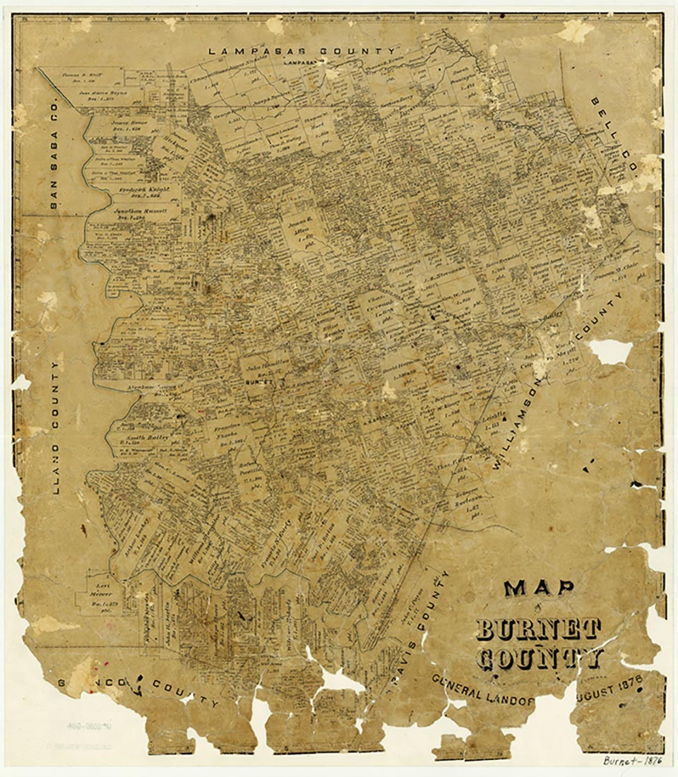

The name Sherwood Shores applies to at least two shoreline developments along the Highland Lakes region in western Burnet County. One development, often referred to as Sherwood Shores III, is located about a mile downstream from Roy Inks Dam and ten miles southwest of Burnet. The other development is located farther downstream on Lake Lyndon B. Johnson, about fourteen miles southwest of Burnet. Settlement began around the early 1960s, when residents chartered a Baptist church. By the early 1970s highway maps showed Sherwood Shores in two locations, and residents had organized an Assembly of God church and a Seventh Day Adventist church. The first population statistics, apparently for both communities combined, were given in 2000, when the census reported 870 residents.
Laurie E. Jasinski | © TSHA
Adapted from the official Handbook of Texas, a state encyclopedia developed by Texas State Historical Association (TSHA). It is an authoritative source of trusted historical records.
- ✅ Adoption Status:
Belongs to
Sherwood Shores is part of or belongs to the following places:
Currently Exists
Yes
Place type
Sherwood Shores is classified as a Town
Location
Latitude: 30.59352130Longitude: -98.35891450
Has Post Office
No
Is Incorporated
No
Population Count, 2009
920