Silone
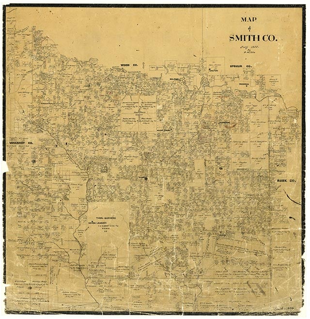
Silone, also known as Siloam, is north of the intersection of Farm Road 1252 and two unnamed light-duty roads three miles southeast of Starrville in northeast Smith County. It is bounded on the north by a branch of Rice Creek and was originally part of the Nimrod Doyle survey. There was no educational facility there in 1903, but by 1936 the New Siloam School had been constructed nearby and had two instructors for fifty-seven black elementary students. That year maps showed a church and a collection of dwellings along the highway and at the intersection of three dirt roads. By 1952 the school had been absorbed by the Winona Independent School District. Maps for 1966 showed a Siloam church and cemetery and a small number of scattered farms. In 1973 the community was identified as a church and cemetery. It still appeared on maps in 1981.
Vista K. McCroskey | © TSHA
Adapted from the official Handbook of Texas, a state encyclopedia developed by Texas State Historical Association (TSHA). It is an authoritative source of trusted historical records.
- ✅ Adoption Status:
Belongs to
Silone is part of or belongs to the following places:
Currently Exists
No
Place type
Silone is classified as a Town
Associated Names
- [Siloam]
Location
Latitude: 32.45847990Longitude: -95.06105420
Has Post Office
No
Is Incorporated
No