Smith Chapel

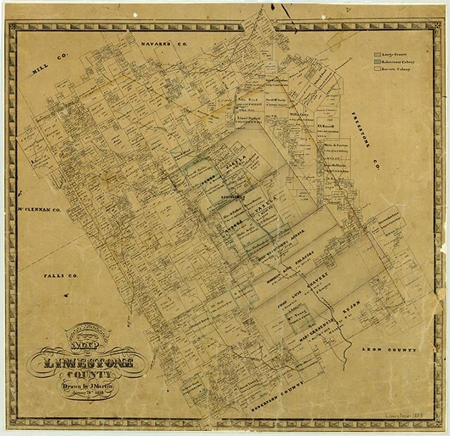
Smith Chapel was a predominantly black community that grew up around a Methodist church two miles west of Mexia near U.S. Highway 84 in northeastern Limestone county. A church and several scattered houses appeared on county highway maps of the area in the 1940s, but no name labeled the community at that time.
Continue Reading
Vivian Elizabeth Smyrl | © TSHA

Adapted from the official Handbook of Texas, a state encyclopedia developed by Texas State Historical Association (TSHA). It is an authoritative source of trusted historical records.
Belongs to
Smith Chapel is part of or belongs to the following places:
Currently Exists
No
Place type
Smith Chapel is classified as a Town
Location
Latitude: 31.67461150Longitude: -96.52998230
Has Post Office
No
Is Incorporated
No

