Thedford
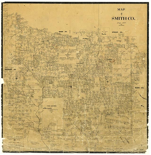
Thedford is just south of Lindale and north of the intersection of Interstate 20 and U.S. Highway 69 in northwestern Smith County. It was named for Lem Thedford, a pioneer settler who organized the rural school district. The site became a shipping point on the International-Great Northern Railroad in 1874. The community had a population of twenty-five in 1910, and the 1936 county highway map showed a small cluster of dwellings and a cemetery at the site. In 1966 Thedford consisted of a collection of dwellings, some clay pits, several dirt roads, and the Sitton Cemetery. The community reported sixty-five inhabitants in 1990. The population remained the same in 2000.
Vista K. McCroskey | © TSHA
Adapted from the official Handbook of Texas, a state encyclopedia developed by Texas State Historical Association (TSHA). It is an authoritative source of trusted historical records.
- ✅ Adoption Status:
Belongs to
Thedford is part of or belongs to the following places:
Currently Exists
Yes
Place type
Thedford is classified as a Town
Location
Latitude: 32.48458740Longitude: -95.39662170
Has Post Office
No
Is Incorporated
No
Population Count, 2009
65