Lake Palestine

A spillway on Lake Palestine
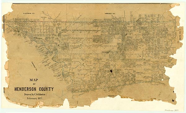
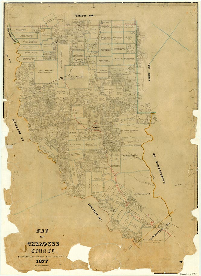
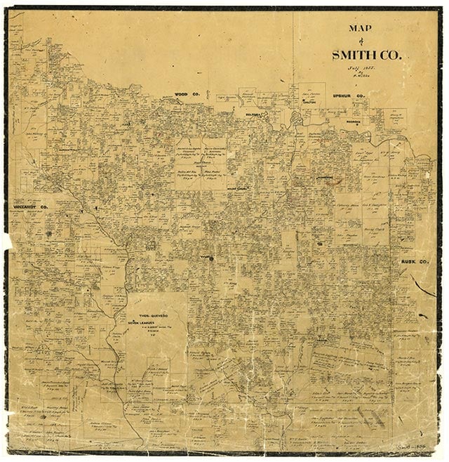
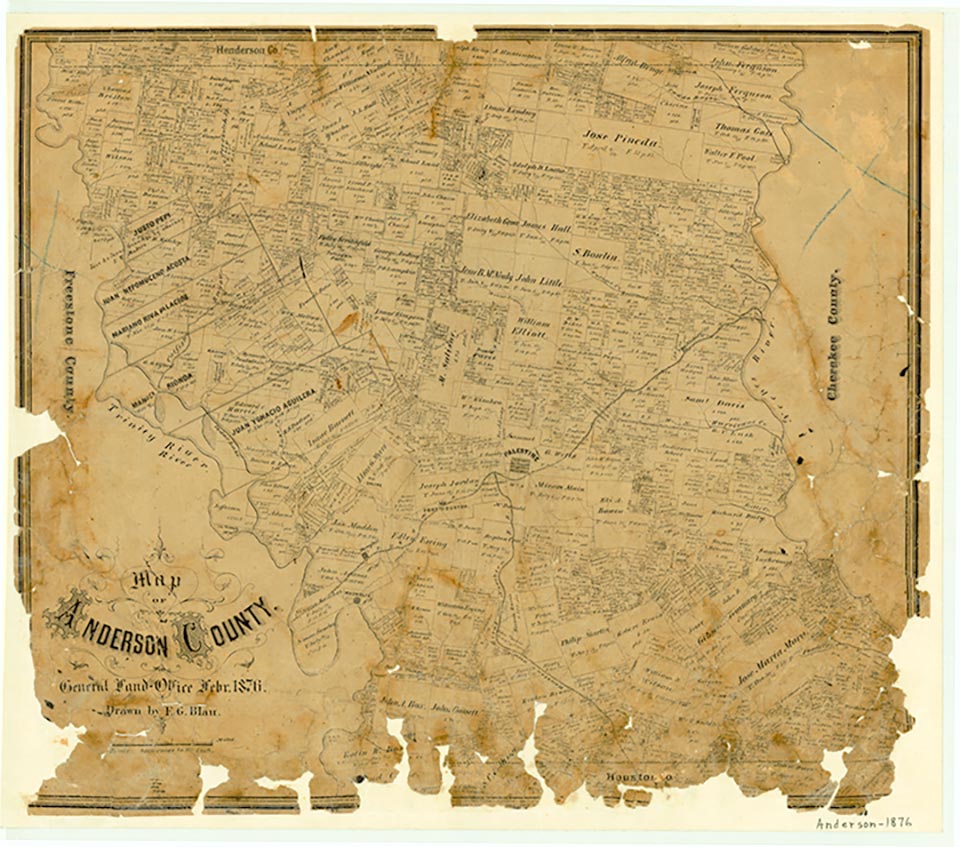
Lake Palestine and Blackburn Crossing Dam are on the Neches River four miles east of Frankston, in northeastern Anderson, southeastern Henderson, southwestern Smith, and northwestern Cherokee counties (at 32°03' N, 95°26' W). The dam is owned and operated by the Upper Neches River Authority for industrial, municipal, and recreational purposes. Construction of the original dam was started in 1960 and was completed on June 13, 1962; an enlargement project was begun in 1969 and completed on March 3, 1972. Lake Palestine is formed by an earthfill dam some 5,720 feet long and is used for water conservation, recreation, and wildlife preservation. The crest of the spillway is 345 feet above mean sea level, and the conservation storage capacity is 411,290 acre-feet with a surface area of 25,560 acres. The drainage area above the dam is about 839 square miles.
Seth D. Breeding | © TSHA
Adapted from the official Handbook of Texas, a state encyclopedia developed by Texas State Historical Association (TSHA). It is an authoritative source of trusted historical records.
- ✅ Adoption Status:
Belongs to
Lake Palestine is part of or belongs to the following places:
Lake Measurements
- Surface Area (in acres): 23,112
- Storage Capacity (in acre-feet): 367,303
Lake Maintained or Owned by
Upper Neches River Municipal Water Authority
Date of Origin
1962 (62 years ago)Currently Exists
Yes
Place type
Lake Palestine is classified as a Lake
Purposes
- Recreation
- Municipal water supply
- Industry