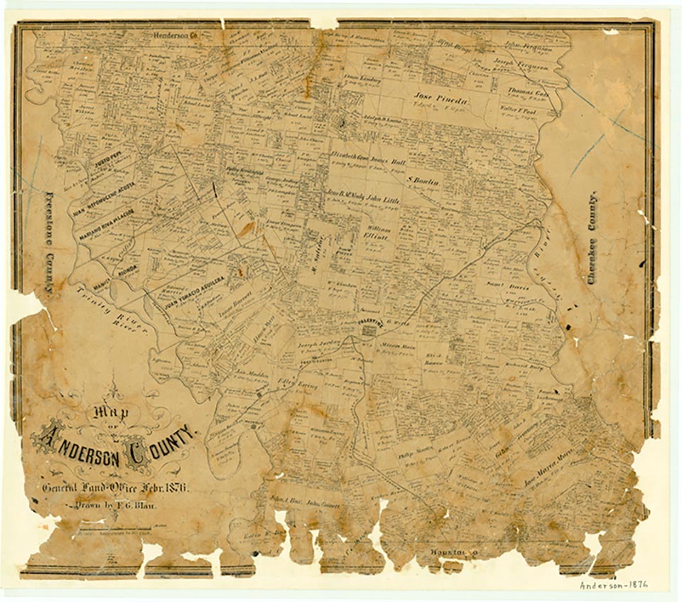
Anderson County

#/media/File:Anderson_courthouse_tx_2010.jpg)
Anderson County, Texas

Anderson County, Texas
Anderson County is located in East Texas between the Trinity and the Neches rivers. Palestine, the county's largest town and its county seat, is 108 miles southeast of Dallas and 153 miles north of Houston. U.S. highways 287, 79, and 84 provide the major transportation routes through the county. The county's center lies at 95°36' west longitude and 31°47' north latitude. Anderson County has a total area of 1,077 square miles or 689,280 acres. The county is partly in the Texas Claypan area and partly in the East Texas Timberlands of the Southern Coastal Plains. Almost half of the soil is Fuquay-Kirvin-Darco, deep, sandy, and loamy. The terrain is nearly level to moderately steep in the uplands. The 66,000 acres in the western Claypan area are used mainly for pasture. The Timberlands are used mostly for pasture and woodland. Many varieties of timber grow abundantly, including red oak, post oak, white oak, pecan, walnut, hickory, elm, ash, and pine (see LUMBER INDUSTRY). The soil also supports a wide variety of fruits, vegetables, and nuts.
The terrain is hilly and slopes to the Trinity and Neches rivers, with an elevation of between 198 and 624 feet above sea level. The entire eastern area of the county is bordered by the Neches and is drained by Hurricane Creek, Lone Creek, and Brushy Creek. The western area is bordered by the Trinity River and is drained by Massey Lake, Mansion Creek, and Keechie Creek. Mineral resources include oil and gas and iron ore. Temperatures range from an average minimum of 37° F in January to an average maximum of 94° in July. Rainfall averages about 40.5 inches annually, and the growing season averages 264 days.
Georgia Kemp Caraway | © TSHA
Adapted from the official Handbook of Texas, a state encyclopedia developed by Texas State Historical Association (TSHA). It is an authoritative source of trusted historical records.
- ✅ Adoption Status:
Currently Exists
Yes
Place type
Anderson County is classified as a County
Altitude Range
174 ft – 773 ft
Size
Land area does not include water surface area, whereas total area does
- Land Area: 1,062.6 mi²
- Total Area: 1,078.0 mi²
Temperature
January mean minimum:
34.5°F
July mean maximum:
92.3°F
Rainfall, 2019
46.6 inches
Population Count, 2019
57,735
Civilian Labor Count, 2019
22,880
Unemployment, 2019
6.5%
Property Values, 2019
$4,058,915,351 USD
Per-Capita Income, 2019
$34,242 USD
Retail Sales, 2019
$524,461,789 USD
Wages, 2019
$249,253,008 USD
County Map of Texas
Anderson County
- Anderson County
Places of Anderson County
| Place | Type | Population (Year/Source) | Currently Exists |
|---|---|---|---|
| Town | 3 (2014) | Yes | |
| Town | – | – | |
| Town | – | – | |
| Town | – | – | |
| Town | – | – | |
| Town | – | – | |
| Town | – | – | |
| Town | – | – | |
| Town | 75 (2009) | Yes | |
| Town | – | – | |
| Town | 50 (2009) | Yes | |
| Town | 25 (2009) | Yes | |
| Town | – | – | |
| Town | 60 (2009) | Yes | |
| Town | – | – | |
| Town | 20 (2009) | Yes | |
| Town | – | – | |
| Town | 60 (2014) | Yes | |
| Town | 125 (2009) | Yes | |
| Town | – | – | |
| Town | – | – | |
| Town | – | – | |
| Town | 20 (2014) | Yes | |
| Town | 137 (2009) | Yes | |
| Town | – | – | |
| Town | – | – | |
| Town | – | – | |
| Town | – | – | |
| Town | – | – | |
| Town | – | – | |
| Town | – | – | |
| Town | – | – | |
| Town | 12 (2014) | Yes | |
| Town | – | – | |
| Town | – | – | |
| Town | – | – | |
| Town | – | – | |
| Town | 60 (2014) | Yes | |
| Town | – | – | |
| Town | – | – | |
| Town | 1,277 (2021) | Yes | |
| Town | – | – | |
| Town | – | – | |
| Town | 15 (2014) | Yes | |
| Town | – | – | |
| Town | – | – | |
| Town | – | – | |
| Town | – | – | |
| Town | – | – | |
| Town | – | – | |
| Town | 1,114 (2021) | Yes | |
| Town | – | – | |
| Town | – | – | |
| Town | – | – | |
| Town | – | – | |
| Town | – | – | |
| Town | – | – | |
| Town | – | – | |
| Town | – | – | |
| Town | – | – | |
| Town | – | – | |
| Town | – | – | |
| Town | – | – | |
| Town | – | – | |
| Town | – | – | |
| Town | – | – | |
| Town | – | – | |
| Town | – | – | |
| Lake | – | Yes | |
| Town | – | – | |
| Town | 30 (2014) | Yes | |
| Town | – | – | |
| Town | – | – | |
| Town | – | – | |
| Town | – | – | |
| Town | 30 (2009) | Yes | |
| Town | – | – | |
| Town | – | – | |
| Town | – | – | |
| Town | 110 (2014) | Yes | |
| Town | 25 (2014) | Yes | |
| Town | – | – | |
| Town | – | – | |
| Town | – | – | |
| Town | – | – | |
| Town | 190 (2021) | Yes | |
| Town | – | – | |
| Town | 18,756 (2021) | Yes | |
| Town | – | – | |
| Town | 20 (2014) | Yes | |
| Town | – | – | |
| Town | – | – | |
| Town | – | – | |
| Town | – | – | |
| Town | – | – | |
| Town | – | – | |
| Town | – | – | |
| Town | 30 (2009) | Yes | |
| Town | – | – | |
| Town | 20 (2009) | Yes | |
| Town | – | – | |
| Town | – | – | |
| Town | – | – | |
| Town | – | – | |
| Town | – | – | |
| Town | 175 (2014) | Yes | |
| Town | 30 (2009) | Yes | |
| Town | – | – | |
| Town | – | – | |
| Town | – | – | |
| Town | – | – | |
| Town | – | – | |
| Town | 300 (2009) | Yes | |
| Town | 10 (2014) | Yes | |
| Town | 175 (2014) | Yes | |
| Town | – | – | |
| Town | – | – | |
| Town | – | – | |
| Town | – | – | |
| Town | – | – | |
| Town | 50 (2009) | Yes |
Photos Nearby:

Palestine, Texas
Aereal view of downtown Palestine, the seat of Anderson County, Texas. Photograph by Rolypolyman.

A spillway on Lake Palestine
Photo by ImageTek, Flickr, CC2
Proud to call Texas home?
Put your name on the town, county, or lake of your choice.
Search Places »